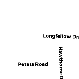
13 HAWTHORNE RD
Owner Information
AMES DONALD H JR
13 HAWTHORNE ROAD
NEWBURYPORT, MA 01950


Property Details
13 HAWTHORNE RD is classified as a Single Family Residential (Raised ranch).
The primary structure on this property was built in 1980. There are 3,348ft2 of built area within this property. There is 1,512ft2 of residential/living space within this property. This property is listed as having 80 rooms.
13 HAWTHORNE RD is valued at $486,300. The land is valued at $243,600 and the structures are valued at $228,000. There is an additional valuation of $14,700 on this property.
This property is in Zone R1. Confirm with local Zoning Board authorities to ensure there are no overlays or other easements on this property.
The most recent deed for 13 HAWTHORNE RD is recorded at the local registrar in Book 7001, Page 771. 13 HAWTHORNE RD was last sold on Monday, November 15, 1982 for $63,900.
Assessment data from fiscal year 2021.
Flood Data
According to the FEMA National Flood Hazard Layer, this property does not appear to be in a flood zone. It may also be in an area not yet reviewed. Nonetheless, confirm this information prior to taking any action.
To view the flood hazards around this property, create a FEMA "Firmette" Map of the area around 13 HAWTHORNE RD.
Broadband Internet Providers
| Provider | Type | Bandwidth (mbps) | |
|---|---|---|---|
| Viasat Inc | Satellite | 100 | 3 |
| VSAT Systems, LLC. | Satellite | 2 | 1 |
| HughesNet | Satellite | 25 | 3 |
| GCI Communication Corp. | Satellite | 0 | 0 |
| T-Mobile | Fixed Wireless | 25 | 3 |
| Comcast | Cable | 1000 | 35 |
| Verizon New England Inc. | DSL | 5 | 0 |
Broadband service provider data from December 2020.
Adjacent Properties
- 12 ELIZABETH LN
Single Family Residential owned by WALSH THOMAS R - 11 HAWTHORNE RD
Single Family Residential owned by RYDER JANE F - 14 ELIZABETH LN
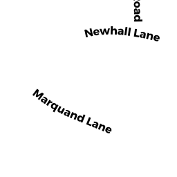
Single Family Residential owned by HELLER JONATHAN J - 10 MARQUAND LN
Single Family Residential owned by MILES SETH - 8 MARQUAND LN
Single Family Residential owned by TIERNAN JAMES K